












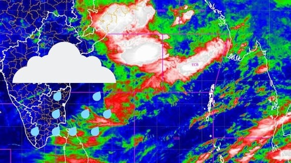
Low-Pressure Area Triggers Heavy Rain Forecast Across Odisha
A low-pressure system has formed over the northwest Bay of Bengal near the Odisha–West Bengal coast, according to the India Meteorological Department (IMD).
The system, which developed early on July 15 due to an upper-air cyclonic circulation, is expected to move west-northwestwards across north Odisha and Gangetic West Bengal over the next two days.
The IMD has forecast widespread light to moderate rainfall across Odisha, with heavy to very heavy showers likely in northern, coastal, and interior districts.
Thunderstorms accompanied by gusty winds are also expected in some areas.
Several districts have already experienced continuous rainfall for two days, leading to waterlogging and disruption of daily life.
In Bhadrak, schools were closed due to inundation.
Disaster management teams and district administrations are on alert, with advisories issued for residents in low-lying and flood-prone areas.
The system is likely to strengthen the southwest monsoon over Odisha, raising the risk of flash floods and temporary disruption to transport and daily activities.
Authorities have urged people to remain cautious and follow official IMD updates.