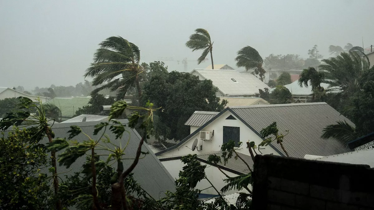
Cyclone ‘Remal’ to bring heavy rain to Odisha
Bhubaneswar, (Orissa Taday), May 24: A cyclonic storm named ‘Remal’ is anticipated to form over the Eastcentral Bay of Bengal by the morning of May 25, according to the India Meteorological Department.
This development may bring heavy to very heavy rainfall to four districts in Odisha amidst ongoing thunderstorm activity. The storm is forecasted to cross the coasts of Bangladesh and adjoining West Bengal, likely between Sagar Island and Khepupara, as a Severe Cyclonic Storm.
As of now, a depression over the Central Bay of Bengal has shifted northeastward at a speed of 20 kmph over the past three hours, currently positioned approximately 730 km south-southwest of Khepupara (Bangladesh) and 750 km south of Canning (West Bengal). It is expected to maintain its trajectory northeastward, intensifying into a cyclonic storm over the Eastcentral Bay of Bengal by May 25 morning.
Subsequently, it is projected to veer nearly northward, escalating into a severe cyclonic storm by May 25 night. Its trajectory is forecasted to lead it to cross the coasts of Bangladesh and adjoining West Bengal between Sagar Island and Khepupara around May 26 midnight as a severe cyclonic storm.
If the system attains cyclone status, it will mark the first cyclone of this pre-monsoon season and will be named ‘Remal,’ which means ‘sand’ in Arabic, as suggested by Oman.
The weather agency has issued a yellow warning for heavy rainfall in isolated places in Balasore, Bhadrak, and Kendrapada on May 25. Additionally, light to moderate rain or thundershowers are expected in many areas in north coastal Odisha, and in a few places in south coastal Odisha, as well as in one or two places in the remaining districts of the state.


