Bhubaneswar, June 29(OT Webdesk): A low-pressure area is expected to form today over the northern Bay of Bengal, driven by a cyclonic circulation over southwest Bangladesh and adjoining Gangetic West Bengal.
The system is anticipated to move west-northwest toward Gangetic West Bengal, northern Odisha, and Jharkhand.
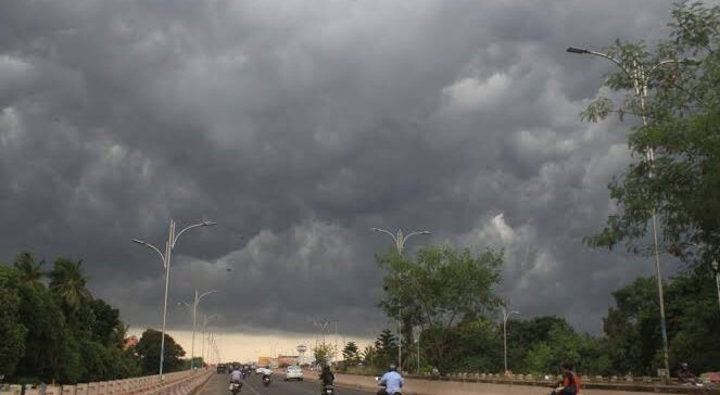
As a result, Odisha will likely witness widespread rainfall over the next few days, with the India Meteorological Department (IMD) issuing orange and yellow alerts across various districts.
On June 30, Mayurbhanj is set to receive extremely heavy rainfall under an orange warning, while Balasore and Bhadrak may also experience intense showers.
Thunderstorms with lightning are forecast across the rest of the state.
A yellow warning remains in effect for districts such as Sundargarh, Jharsuguda, Bargarh, Nabarangpur, Kalahandi, Nuapada, and Balangir until July 4, cautioning against potential downpours.
The sea is expected to remain rough from June 28 to July 1. Fishermen have been advised to avoid venturing into deep-sea areas.
According to IMD sources, rainfall intensity may ease after July 2, but sporadic showers are expected to persist until at least July 4.