


 2026 Schedule Announced")

Geo-referencing of Odisha Forest Land Nears Completion
Bhubaneswar, May 19 (UNI) The geo-referencing of forest land in Odisha is nearing completion, with 95 per cent of the work covering approximately 60,000 square kilometres already done.
The initiative aims to support forest conservation, expedite developmental activities, safeguard tribal rights over forest land, enable the collection of non-timber forest produce by communities residing near forest areas, and help resolve disputes related to forest boundaries.
The project is being executed under the guidance of the Centrally Empowered Committee, constituted by the Union Ministry of Environment, Forest and Climate Change, following directions from the Supreme Court after reviewing multiple related cases.
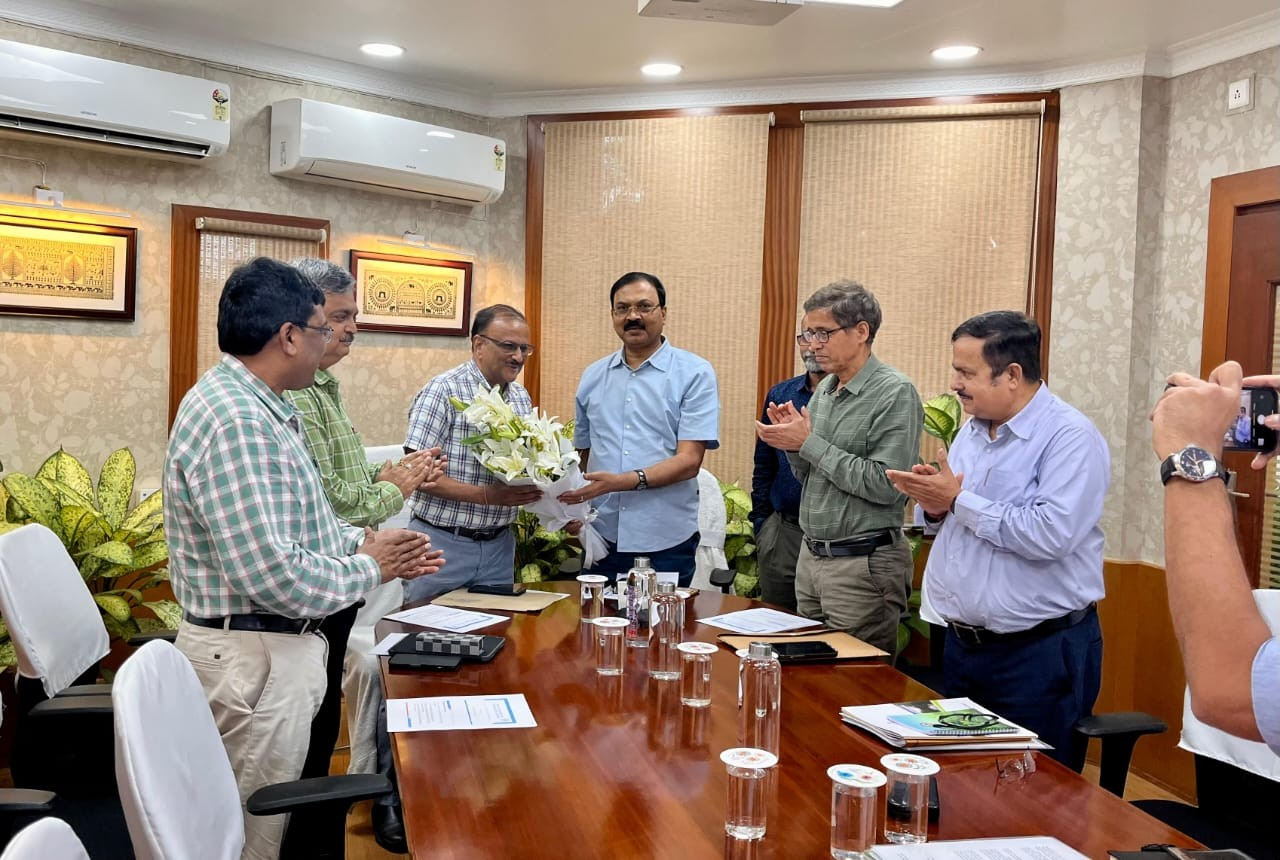
A review meeting held on Monday was chaired by Committee Chairman Shiv Das. It was attended by Odisha’s Additional Chief Secretary of the Forest, Environment and Climate Change Department, Satyabrata Sahu; Principal Chief Conservator of Forests, Suresh Pant; Principal Chief Conservator of Wildlife, Prem Kumar Jha; and Member Secretary of the State Pollution Control Board, Uma Nanduri.
Describing the geo-referencing process as a historic milestone, Chairman Shiv Das said it has the potential to significantly accelerate the state’s development process.
He noted that Odisha has emerged as a national leader in implementing this initiative and that the successful model may soon be replicated in other states. Das also commended the state government for its effective implementation and cooperation in executing the project.
It is important to note that, under the Forest Conservation Act of 1980, prior approval from the Central Government is mandatory for undertaking any non-forest development activities on forest land.
Previously, the absence of precise records often delayed such developmental work. The committee emphasised that geo-referencing will enable accurate demarcation of forest boundaries, helping to resolve longstanding issues related to forest land.